Working together as Drury grows
With new neighbourhoods emerging alongside farms, bush and waterways, Drury is uniquely placed to show how communities and nature can thrive together.
Why this project matters
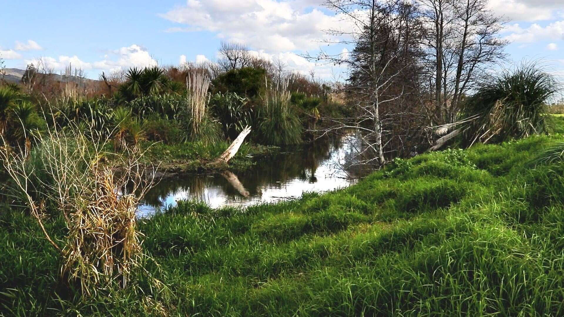
Drury is one of Franklin's fastest-growing communities, where rural landscapes, native bush, streams and new neighbourhoods all come together. As the area continues to grow, there is a unique opportunity to protect and restore nature alongside development.
Introduced predators and invasive weeds don't recognise property boundaries, moving freely between farms, reserves, waterways and residential areas. Working together as a community is the most effective way to reduce their impact and create healthier habitats for native wildlife.
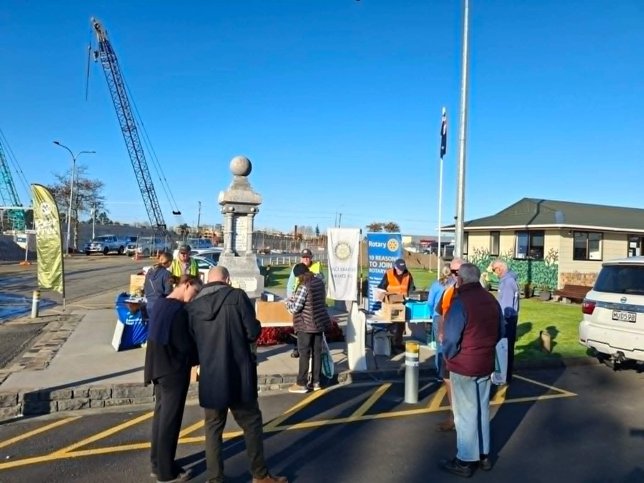
By connecting landowners, lifestyle block owners and urban residents, the Drury community is building a coordinated approach to predator control, habitat restoration and environmental stewardship that will benefit both people and nature for generations to come.
Every trap checked, weed removed and native tree planted helps ensure Drury remains a place where both wildlife and communities can thrive.
Get involved in Drury
1. Subscribe to the project newsletter
2. Get in touch with the local project coordinator
Contact: Peter & Riet van der Guilk
Email: pr.gulik@gmail.com
Phone: 021 063 9060
Already have traps and bait stations?
We would love it if you could map them on Trap.NZ, and, even better, keep records of what you catch (Don’t worry, the exact locations are kept private, it just lets us know roughly where action is happening in the area).
How to map your traps and bait stations and keep records
1 – Register on Trap.nz
2 – Join the Drury project
Join the Drury project
4 – Use the app to map your traps and bait stations and to keep records
Map your traps and bait stations and to keep records of when they’re rebaited and when captures happen. Check out trap.nz's handy 'Getting Started' info to learn the basics of using this powerful conservation platform.
When nature thrives, we all thrive.

Te Ara Hīkoi empowers communities across Franklin to protect and restore nature through predator control, habitat restoration, pest plant management, and conservation education.

